|
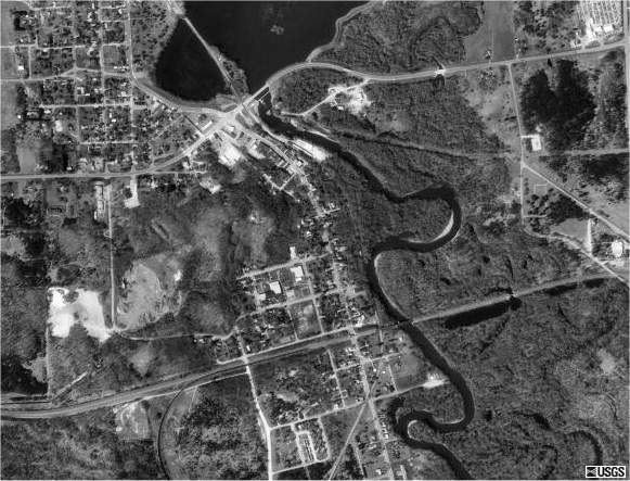
Digital
aerial photos (like this TerraServer image of Necedah, WI) are
called Digital Orthophotos (DOP) or Digital Orthographic
Quarter Quads (DOQQ). The images are corrected for optical
distortions or irregularities in the Earth's surface to correspond
with true positions on the ground. The free images from TerraServer
may be up to ten years old and are usually taken in a leaf-off
season. They are grayscale infrared photos, causing conifers and
water to appear as dark gray or black. More recent photos and
color images are available from commercial vendors. You can also
scan paper aerial photos (but ortho-rectification requires specialized
software).
Back
|