|
National
Elevation Data (NED) shaded relief raster data is available
at approximately 30-meter resolution for the continental United
States through sites listed in Links.
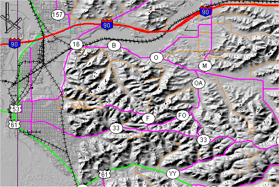
In
this example, a shaded relief image from the ESRI download site
is combined with Digital Line Graph (DLG) transportation data
for the area east of La Crosse, Wisconsin.
Back
|